 |
Haddon Hall MAPS & REFERENCES Bakewell, Derbyshire |
|
| Location Maps References Short Cuts Please Read Me |


Where is Haddon Hall?
Haddon Hall is located in Derbyshire at the following GPS coordinates: latitude 53.1939°N and longitude -1.6498°E. We then look at the centre of London which is officially taken as the intersection of The Strand, Whitehall and Cockspur Street. This intersection is often referred to as Charing Cross, not to be confused with the nearby Victorian Eleanor Cross itself, nor the station in front of which the cross stands. The GPS coordinates of the centre of London are: latitude 51.50730°N and longitude -0.12755°E.
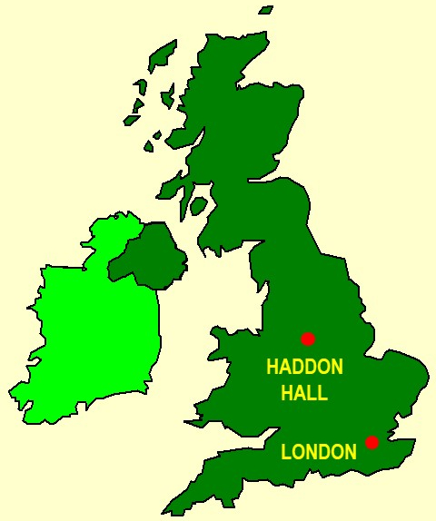
Here you see a "sketch" of the U.K. showing the approximate locations of Haddon Hall & London.
This "map" is from the Microsoft® PowerPoint® Clip Art Library originally supplied with versions of MS Office®.
Hence, as the crow flies on a great circle route, Haddon Hall is 133.06 miles or 214.14 Km from the centre of London (given as above). For actual travel by rail or road we may have to add about 20% or 30% to the distance value of 133.06 miles. The bearing of Haddon Hall is +118.87°, or approximately NNW with respect to Charing Cross, the centre of London.

Location of Haddon Hall in more Detail - Google© Maps
These maps are courtesy Google© and will show you the layout of Haddon Hall and also Haddon Hall in the context of both its grounds and the wider area in Derbyshire and beyond. Numbers below are heights in metres above mean sea level and indicate the resolution of the relevant map. The "Satellite" option is equivalent to an aerial photograph, the "Maps" option gives a simplified view.
Satellite ---------- 222 866 6922 13857 |
Maps ------- 222 866 6922 13857 |
Resolution ------------- Layout of Haddon Hall Haddon Hall & Grounds Wider Area Wider Area |
Haddon Hall - References
- Haddon Hall - Wikipedia
- Haddon Hall - Wikipedia Media : John Alfred Gotch - A plan of Haddon Hall, from "The Growth of the English House" by J. Alfred Gotch, London, 1909, p. 48.
- Haddon Hall - Wikivisually
- Link : The History and Antiquities of Haddon Hall by S. Rayner, Edited by David Trutt, 1836
- Link : Haddon Hall - Articles on Derbyshire by John Leyland, The Portfolio, An Artistic Periodical, 1891
- Link : Full text of "The history and antiquities of Haddon Hall : illustrated by thirty-two highly finished drawings : with an account of the hall in its present state", Haddon Hall: by S. Kay Nek., Published by Robert Muse Lev, Derby and London: (1) Weale, Architectural Library, Holborn; (2) Moon, Threadneedle Street; (3) Hodgson and Boys, Pall Mall; (4) Colnaghi, Cockspur Street. MDCCCXXXVI (1836).
- Historic Houses
- Haddon Hall - Historic Houses
Short Cuts
The main web page on Haddon Hall - the one from which you reached the present page - is directly accessible from your browser. Just type ONE of the following in your browser.
- "tinyurl.com/hallohaddon" or
- "tinyurl.com/haddon19"
Eric Scharf
Original Version: 2019-07-13 @17:05
Latest Update: 2020-01-10 @10:46
SAGAX REX HANC RETIS ORBIS PAGINAM PINXIT ANNO MMXIX
© Eric Scharf 2019 & 2020